Permafrost
“In some high alpine areas, we are beginning to see significant changes in the mountain landscape and its stability.”
Permafrost in the Alps
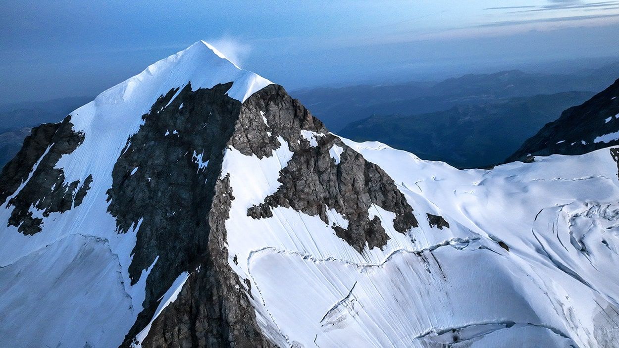
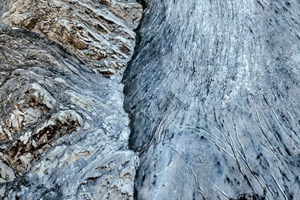
Permafrost is a permanently frozen layer on or under Earth’s surface. It consists of soil (rock, gravel, sand) usually bound together by ice. It covers a large area in the Alps (even more than glaciers!) above 2,500m and plays a vital role in maintaining the stability of the terrain in mountain landscapes, as it holds part of the mountain landscape together. In the Mont-Blanc massif, about 65% of rock faces above 2,300m are permanently frozen.
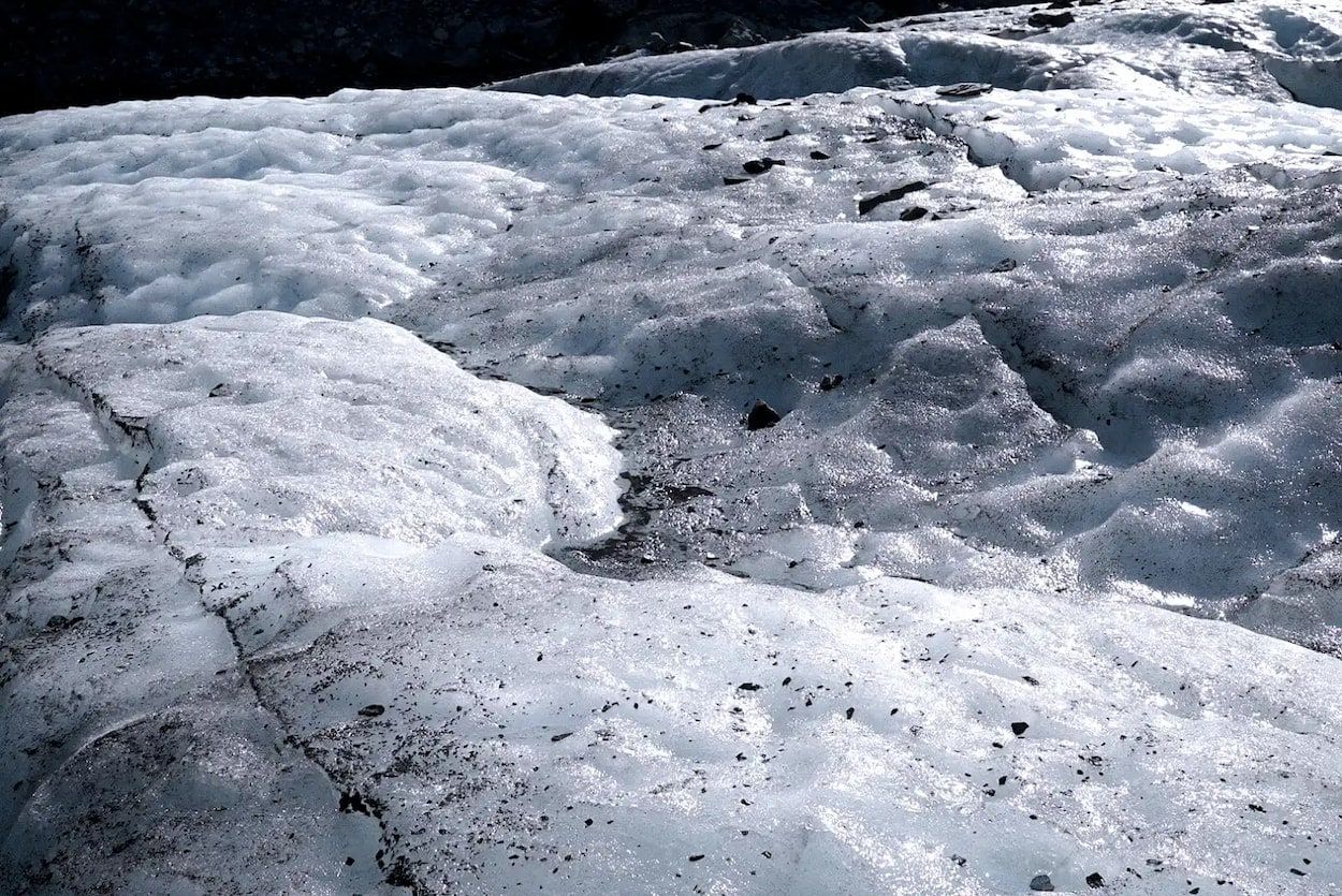
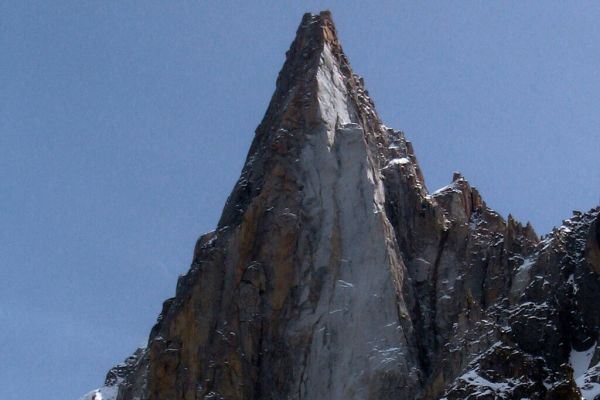
Permafrost degradation due to global warming significantly impacts outdoor sports like trail running, hiking, climbing, and mountaineering. As permafrost thaws, it alters landscapes and routes, affecting safety and accessibility. Over the past years, permafrost degradation was responsible of large rockfalls, such as the Bonatti Pillar in 2005 (a famous climbing route) in the west face of Petit Dru (Chamonix), and Piz Cengalo-Bondo catastrophic event in 2017 (Switzerland) that killed 8 people.
However, our understanding of permafrost remains limited. There is still much to learn about its current behavior and how it might react to projected temperature increases in the future. Therefore, there is a need for additional permafrost research and monitoring data.
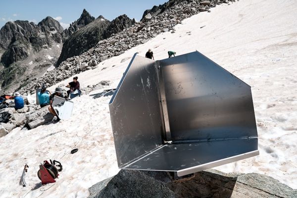
In Switzerland, the Swiss Permafrost Monitoring Network (PERMOS) keeps track of mountain permafrost over time. They use methods like drilling to measure temperatures underground. Swiss research groups also add their data and methods to make PERMOS even more comprehensive.
Projects like Permapyrenees, developed by the Kilian Jornet Foundation, aim to deepen our understanding of permafrost changes in the Pyrenees. This research is crucial for monitoring and assessing the impacts of climate change on permafrost, particularly in identifying associated risks such as unstable terrain and landslides. These projects can contribute to safer mountain practices and a better understanding of permafrost dynamics in vulnerable regions like the Pyrenees or the Alps.

Uplifting Human Impact on Permafrost
Explore inspiring initiatives that are making a significant impact on permafrost conservation. These projects highlight the creativity and dedication of individuals and communities working together to build a sustainable future in the Alps.
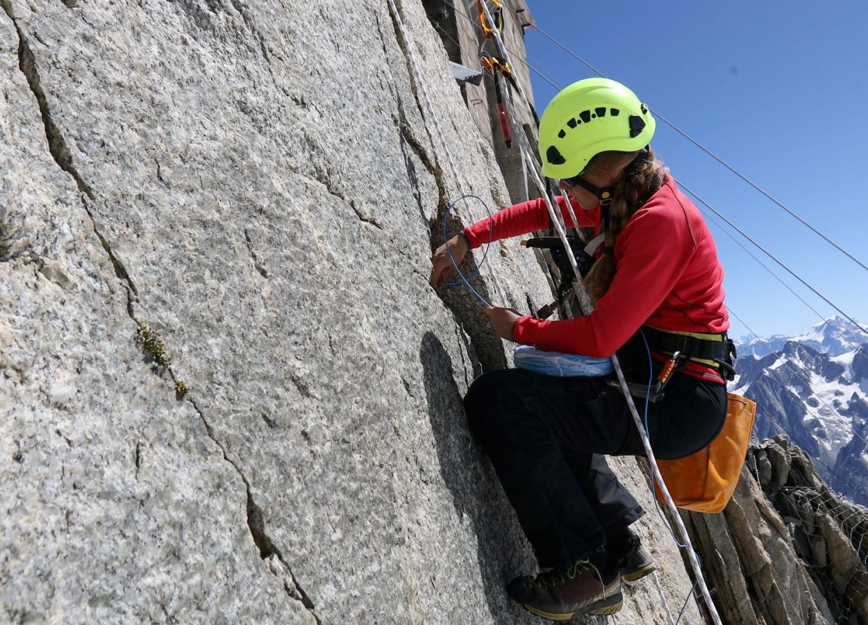
Dr. Florence Magnin is a researcher from University Savoie Mont-Blanc, CNRS, who focuses on understanding and mapping landslides, also called rock slope failures (RSFs), triggered by permafrost thawing in the French Alps.
In a recent study, she and her team analyzed a database of 1389 RSF events in the Mont Blanc massif to map areas where RSF is likely to start. They found that RSFs are strongly linked to areas where permafrost is close to 0°C. Using statistical analysis, they developed three levels of Rock Slope Failure Susceptibility Index (RSI) to identify potential release areas, ranging from 34 km2 to 284 km2 over the entire French Alps.
This study marks an important first step towards identifying RSF hazard hotspots in the French Alps, which could be crucial for athletes, recreational visitors and land planners. Permafrost areas in the Alps can be visualized using the Permafrost layer available in the interactive map.
Get inspired by
Rock failure project

This study aims to assess and map Rock Slope Failures (RSF) in the French Alps, particularly in regions where permafrost affects rock stability, thus contributing to better risk management and infrastructure planning in mountainous areas.
Swiss Permafrost Monitoring Network (PERMOS)

PERMOS is the monitoring network of permafrost in Switzerland. They have open access data on temperature measurements in the Swiss Alps. Here is an overview of the monitoring sites.
Permafrost map of the Alps
Available in the interactive map
Permapyrenees

Permapyrenees is a project developed by Kilian Jornet Foundation focused on studying permafrost in the Pyrenees. It will utilize advanced monitoring techniques and deep drilling to detect permafrost and associated risks, such as slope instability and rockfalls. The goal is to provide precise information for safer mountain practices and enhance understanding of permafrost dynamics.